Sunday, September 16, 2018

Route 501 to Route 645

2.2 Miles
September 13, 2018
Tom and Mike

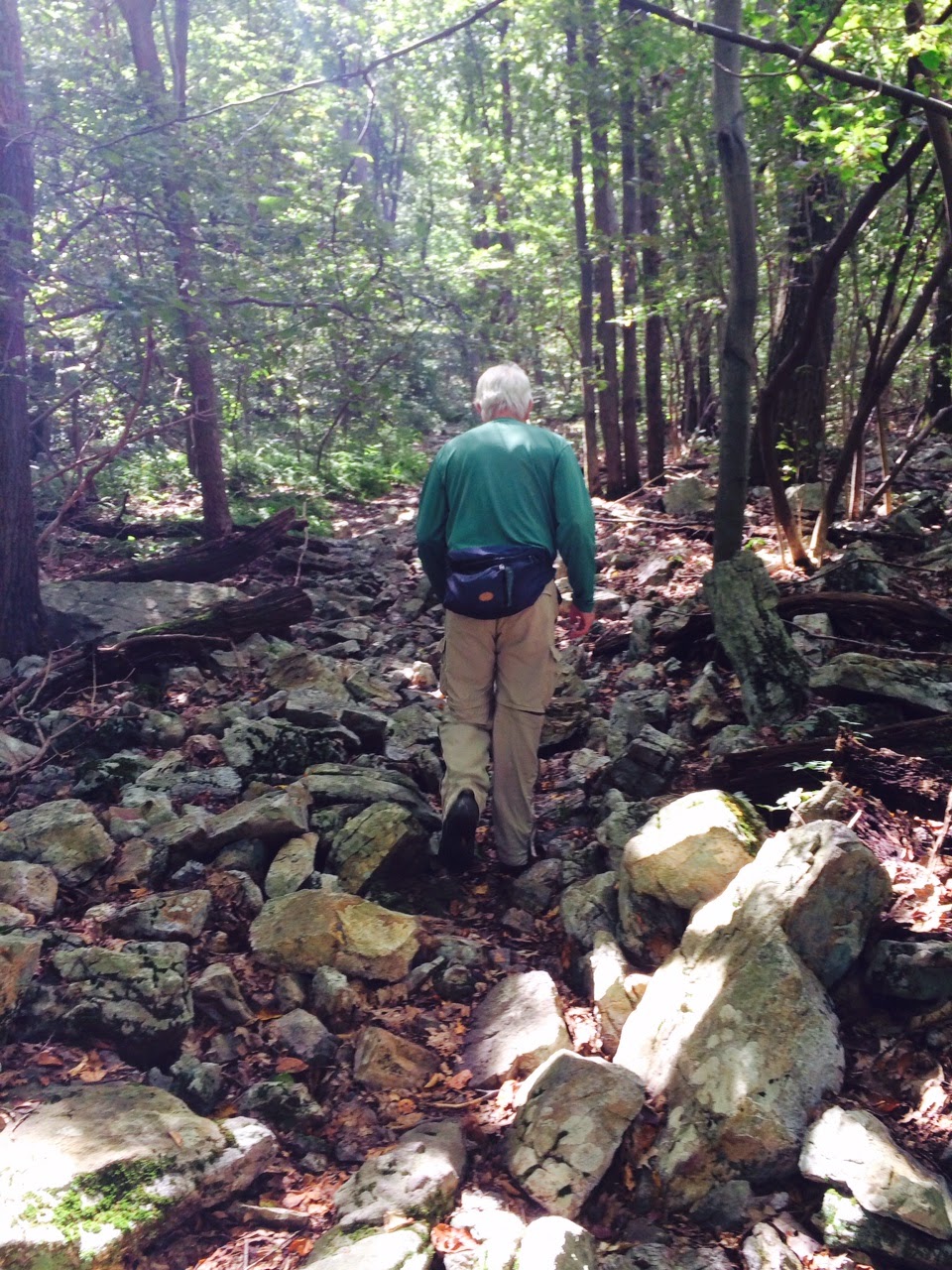
This was our much talked-about “make up hike”.  Four years ago, we had missed these two miles as we pieced together our usual ten mile segments.  So, this missing section was a constant reminder that we needed to do some minor housekeeping first, so that our triumphant walk into New Jersey will, in fact, be the end of our Pennsylvania hike.

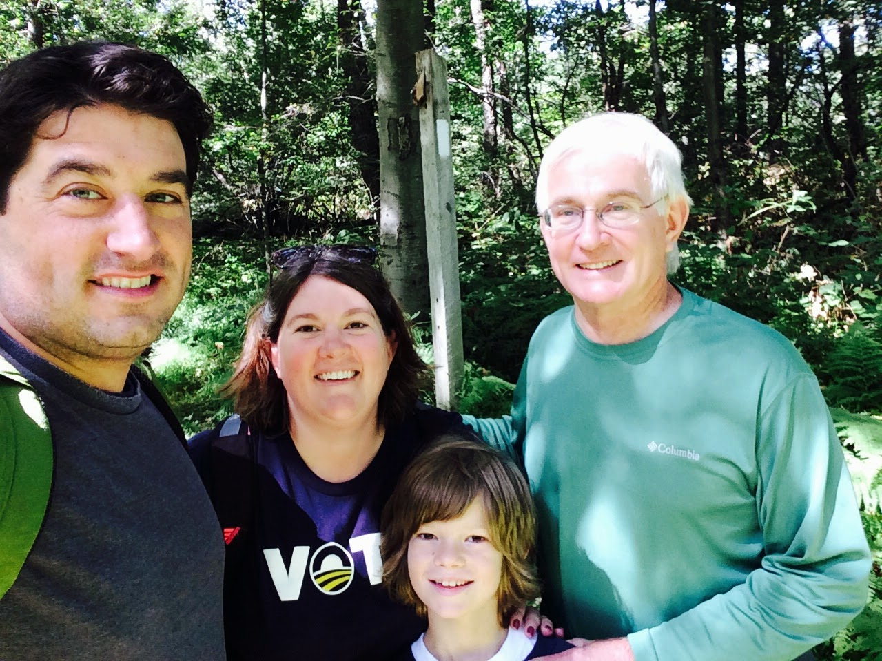
Making up the two miles became more of a logistical matter over time, as we have remained focus on knocking down the miles. Finding the time to go back for a few short miles was more challenging than you might imagine.  As it turned out, Tom was speaking in Philadelphia for ULI and a late afternoon pit stop on his way to Pittsburgh was just the opportunity we needed to cross these miles off.   It was also a happy occasion for Monty who was born on the Murphy farm and has known Tom and the family for all of his 13+ years.  So, when Tom stopped by on our way to the Trail, it made Monty’s day.

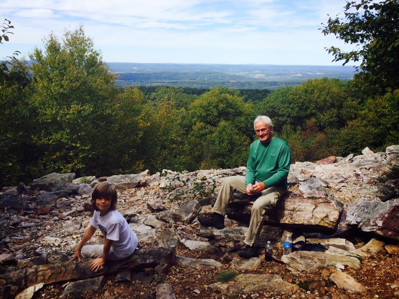
With convenient parking at both ends, it was as simple and enjoyable as any two miles spent along the AT.  And the lookouts were spectacular, particularly the one named for Bob Fisher, a longtime trail volunteer.  From atop the rocks, a panorama for miles with hardly a cloud in the sky.  In the Berks County valley below, red and white barns and old farmhouses were scattered across landscape.    
One imagined what Indians might have seen from this vista when the first settlers made their way to this region a few hundred years ago.

On the way in and way out, we drove through the little town of Pine Grove.  Tom noted that we’re fortunate as section hikers to see the back roads of Pennsylvania as we go to and from the Trail.  Surely the thru-hikers make better time, but they do often miss seeing what lies beyond. The story of the nation is found along the byways. The picturesque farms--sometimes both perfectly dilapidated and charmingly rustic-- the cluttered antique stores, and the small clusters of company houses built to support a long-forgotten mine or mill.  All these things are out there, and sometimes you find them only when in search of something else.

Our make-up hike complete--we have just a few more hikes to go in this beautiful place called Penn's Woods.

Tuesday, May 15, 2018

Delps Trail to Wind Gap


10.6 Miles
April 22, 2018
Tom, Shannon, Wyatt and Mike

Our first hike of 2018, the day before my 44th birthday, and the weather couldn’t have been better.  Everything was nearly perfect.  Well, except for the rocks. But we’ll get to that later.

Tom, Mona, Shannon and Wyatt arrived on Friday evening, and Hillary joined us for a dinner at Macaroni Grill.  It was fun to catch up over a good meal before we said goodbye to Hillary and headed up 78 to a hotel for the evening.

We decided to hike from the Delps Trail intersection with the AT to Wind Gap, so that the next segments could include one overnight hike and then the final hike to the Delaware Water Gap.   With this plan in place, getting to the trailhead required that we do a three-quarter mile hike from a Game Commission parking lot---which was not not clearly marked or easily found.  From the parking lot up to the trail was, easily, a 500-800 foot ascent in less than a mile.  

After much effort, we reached the A.T.  Our elation was somewhat dampened, however, a short while later when we came upon a road.  Yes, it was the kind of road that cars travel on.  Had we known of the road, it would have negated the need to hike up the side of the mountain. They say success has many fathers, but the guy who incorrectly reads the map is all alone in taking the blame!  So, I accepted the blame for adding an unnecessary mile to the hike, and my fellow travelers were more than understanding.  They are a forgiving group of friends!

The weather was beautiful, and the 10+ miles were mostly level---but don't mistake level for smooth. It is not a smooth section.  Had the surface of the trail been more like the running track at the local high school, we could have kept a nice pace and enjoyed more of the scenery.  Instead, long stretches were rocky with a few large boulders to climb over along the way.  All of this slowed us down. 

About half-way through we stopped for lunch.  Thank God for Wawa.  There is nothing quite like Wawa hoagie and one of the best parts of hiking in that part of Pennsylvania are the proximity of Wawa stores.

As we got closer to Wind Gap, two scenic overlooks offered sweeping views of the valley below and the Poconos beyon.  Without much forest canopy cover in place, the woods were bright and sunlight streamed down through the trees. Tom pulled a large bark mushroom off a tree trunk and carved our names and the date into it. You can find out more about Polypores here:  https://en.wikipedia.org/wiki/Polypore

It was a full day on the trail, and thankfully Mona was waiting for us after the steep descent into Wind Gap.  The hiking boots quickly came off, and we nursed our sore feet on the long ride home. 

Getting close to New Jersey—just a few more hikes to go!


Saturday, November 4, 2017

Wind Gap to Fox Gap

8.5 Miles
November 4, 2017
Tom, Shannon, Wyatt and Mike

After a busy--and in many ways personally difficult 2017-- all the stars and schedules aligned for us to get one trail segment completed before the end of the year.  That the weather was perfect for a hike only made us all the more sorry that an entire year had passed since our last sojourn on the AT.  

The Pittsburgh crew came out on Friday night and together we traveled to a hotel south of Jacobsburg State Park to spend the night—which provided us with a head start on Saturday morning.

Starting at Wind Gap and heading east to Fox Gap, the hike began with an immediate 600+ foot ascent.  The steep incline was a good reminder that we need to hike more often.  From there, the trail remains mostly level at an elevation around 1500 feet, and descends just a bit upon reaching Fox Gap. 

About 7 miles into the hike, at 1600 feet, Wolfs Rocks is a quartzite rock formation created some 420 million years ago, and marks the southernmost point of the Wisconsinan glacier.  Its commanding vista overlooks the Cherry Valley Wildlife Refuge---and on the day of our hike it provided Wyatt with the chance to see a porcupine nestled in a tree top just a short distance away.  Porcupines often climb trees to eat food---including tree bark---and having not seen too much wildlife over the last 200 miles, this was a welcome sight. 

While fall was underway and the canopy was getting bare, entire sections of what looked like red huckleberry were still vibrant.   There were a few groups of hikers out, some individuals---and a dog that Wyatt enjoyed meeting.  It was an ideal day to hike and not surprising that others were enjoying the day also.

Mona was waiting for us when we reached Fox Gap, and after a quick stop for pizza dinner in Harrisburg—the Pittsburgh crew was once again heading west.


Monday, October 31, 2016

Route 309 to Lehigh Gap

Sunday, October 23, 2016
Tom and Mike
13.3 Miles

Our 19th section hike along the AT. The first hike of 2016. The first time we hiked in October. The first time both Tom and I face-planted because of stray-rocks. It was also our first Uber hike—but more on that later.

We started early on Sunday---leaving our car at Route 309 and walking by 8:50 a.m.   The morning was beautiful and the air crisp, autumnal colors brightening the way as we headed northeast towards Lehigh Gap.  Perhaps because of the weather, many day hikers (and dogs) were out on the trail---and even a few had camped out the night before and were out of their tents ready to start the day.  Most notably for this time of year, we met one leap-frog thru-hiker named Kizmit who left Maine on August 18. I asked her about her name and she mentioned that it is taken from the word kismet, meaning destiny or fate.  We offered her chocolate and peanut butter crackers but she had just loaded up on provisions. Kizmit was friendly and enjoying some down time on the side of the trail, and looking forward to completing the AT in Virginia.

Traveling mostly through State Game Lands, this 13 mile section of Blue Mountain straddles Carbon and Lehigh Counties and maintains a near constant elevation of 1500 feet, with a dip at Lehigh Furnace Gap, and a 1100 descent over the last 1.5 miles.

After the hike, while nursing the blisters that developed on both feet, I thought about what Tom and I had read---that this section is one of the rockiest in a state already well known for its rocks.  There are six or seven rock outcroppings along the way—where hands are required to climb and perfectly incredible views are abundant.  
In addition to the Knife Edge and Bear Rocks, there is Bake Oven Knob, which is the tallest point in Lehigh County.  The rocks found along this section are from the Tuscarora formation, about 400 million years old, and made up of quartzite, sandstone, siltstone and shale.  What’s interesting is that they were formed by being pushed up from an old ocean floor.  While they degraded over millions of years, the pointy edges remain.  And, thus the blisters.

When not navigating the rocks, the trail was actually wide through the forested sections of the game lands.  This makes for easy and enjoyable conversation, and allowed us to keep a good pace.  We stopped a few times to admire the views, and did break for lunch (apples and a rotisserie chicken from the Broad Street Market).  Except when a ruffed grouse took to flight about five feet from us (startling, for sure), the calm and breezy peace was unbroken throughout.

Now back to it being our first Uber-hike.   Because it was just Tom and I—and because it was 1.5 hours each way from home to trail head, we decided to take just one car and take a chance on finding a ride back to the starting point.  Having downloaded the Uber app on my iPhone, I sent in a request for a driver when we reached the end of the trail.  Within seconds, we had confirmation. Within 20 minutes, we had a ride.   For $24.14 we were taken the 15.6 miles back to our car by a really nice guy who drives part-time for Uber.  He explained the economics of being a driver, how the app is changing the way people travel and food delivered, and relayed that there are already 2000 drivers in Allentown alone.  We took a chance on Uber and it didn't let us down.  It made sense—both economically and environmentally—and it won’t be our last Uber-hike—that is for sure.

With great conversation, a few blisters, and a beautiful day behind us---we have 39 miles to go in Pennsylvania.

Saturday, September 19, 2015

Route 309 to Hawk Mountain Road


Sunday, September 13
Tom, Shannon, Wyatt and Mike
11.5 Miles

About 300 million years ago, Africa and North America collided.  Today, my ankles hurt.  Is there a direct correlation?  Yes.   How so?  Well, I’ll get to that in just a minute.  First, let me tell you about “A Walk In the Woods”.

The new film of the Bill Bryson novel was just released and Mona, Tom, Shannon and Wyatt came into town on Saturday so that we could enjoy dinner and the movie. Joining us (including Hillary) were Cindy and Craig Dunn, and John and Carol Norbeck----colleagues (and their spouses) from DCNR.  Most of the group has spent considerable time on the Trail (Craig actually completed the A.T. and regularly organizes volunteers to keep the Trail in tiptop shape), so watching the Robert Redford/Nick Nolte film adaptation was really enjoyable for us all.   Go see the movie!

On Sunday morning, Mona dropped us off on Route 309, which literally straddles the border of Carbon and Lehigh Counties.  Heading south to Hawk Mountain Road, it’s really a 4-county hike as the Trail also enters into Schuylkill and Berks along the way.  For hikers, note that the elevation remains fairly stable at 1500 feet for the first 8 miles and then drops 1000 feet over the next 3 miles to Hawk Mountain Road.

Perhaps for the first time yet, we passed only one hiker along the entire 11 mile stretch.   (Surprising, as it was a fairly nice day, and because most expect the new A.T. movie to increase Trail traffic.)  Instead of humans, there was an abundance of frogs, some spiders on intricate webs and even a large Luna caterpillar that Wyatt spotted.  I’m guessing we saw mostly Wood frogs, a species abundant in PA forest lands.  You can go here to see the different kinds of frogs and toads found in Pennsylvania: http://www.paherps.com/herps/frogs-toads/

Now back to my ankles.  The trail was wide and level from Rt. 309 to the Allentown Shelter (where we took a nice break and read some hilarious journal entries, like the one posted here). And then, everything changed.   For the remainder of the hike, we climbed rocks, balanced on boulders, and tiptoed across them.  


For this, we can thank the Alleghanian orogeny---the collection of rock outcroppings that form Blue Mountain—which is a result of North America and Africa colliding around 300 million years ago.  When the Blue Mountain ridge was formed, Geologists claim that it was actually taller than the Rockies and the Alps, and maybe even higher than the Himalayas.  Erosion over the past several hundred million years has left us with a 1500 foot high ridge, many layers of exposed rocks, and sore feet.   You can find out more about the geologic history here: https://en.wikipedia.org/wiki/Alleghanian_orogeny
 
Thankfully, Mona was waiting when we arrived at Hawk Mountain road.  The boots came off and we were taken back to civilization and flat Earth!

51 miles, or so, to go in Pennsylvania.

Wednesday, May 27, 2015

Hawk Mountain Road to Port Clinton

May 23-24, 2015
Tom, Shannon, Wyatt, and Mike
15 miles

Day-hikers, dogs….and inchworms.   Eight months since our last hike--our two-day return to the AT was not a lonely excursion.  For almost the entire length, but particularly at scenic overlooks, the trail was filled with day-hikers and dogs who were enjoying the perfect temperatures and sunny skies.  Some of those we met mentioned it was their first time on the trail, and a few others asked for directions---seeming to indicate the same.  We wondered if perhaps the movie “Wild” had anything to do with the spike in hikers, as some have claimed that it will provide at least a temporary bump in interest about trail hiking---and they may be right. 

In addition to hikers and dogs, the trail was densely populated with tiny inchworms dangling from trees nearly every few steps along the way.  These future Geometer moths are known to come in thousands of species---and we saw most of them.  Doing our best to dodge and weave around them, they still ended up in our hair….or on our clothes…or in our packs….in the car on the ride home.  If you want to learn more about them, you can read this:  http://animals.pawnation.com/inchworms-kids-8744.html
Getting back to the hike itself, we started in Eckville, along Hawk Mountain Road on Saturday morning (after hitting the Giant for provisions), and headed west towards Port Clinton.  The uphill start took us from about 800 feet to 1500 feet in the first mile or so, and remained fairly level for the next five miles.  Good conversation can be had on a long, level stretch and this section of the trail is mostly a state game lands road.   It’s a nice way to spend the early afternoon.

In that stretch of Blue Mountain are two well-known scenic overlooks, The Pinnacle and Pulpit Rock.   The Pinnacle is one of the most popular day-hikes along the AT in Pennsylvania, and happens to be the second highest point in Berks County.  From the outlook, you can see for miles in any direction, including three counties, and enjoy some rest from the rocky trail that brought you to this vantage point.

Two miles later is Pulpit Rock.  We took in the sights there, spoke with a young family from Hamburg, and then descended about 800 feet to set up camp at the Windsor Furnace Shelter.   Wyatt and Tom hunted for firewood while I hunted through my belongings for inchworms.   We enjoyed turkey dogs, corn, and s’mores before turning in for the night.

The Sunday hike was 6 miles--starting with a 600 foot climb and ending with a 1000 foot descent.  At the outset we passed the site of the old Windsor Furnace, which was built in 1768 by Valentine Eckert.  At one point, there were more than 500 of these iron furnaces operating in Pennsylvania, and most no longer exist.   Perhaps the most famous is the Cornwall Iron Furnace, which is now a museum.  More info can be found here http://www.cornwallironfurnace.org/

There were no thru-hikers evident to us over these two days---it seems that it will be a week or so before “the bubble” reaches this portion of Pennsylvania.  We were glad to note, however, that Sweet Tea and Moe---two thru-hikers we met last year—appeared on the list of those who completed the trail in 2014. Good for them!

Except for a flat tire on the way home (Thanks to Tom for assisting with the tire change), it was a perfect two-day hike on the AT.  We have about 60 miles to go!


Thursday, September 18, 2014

Old Stage Coach Trail to PA Rt. 61 (Port Clinton)

September 14, 2014
Tom, Shannon, Wyatt and Mike
7 miles

Our 16th section hike on the Appalachian Trail, and perhaps the nicest day of hiking we have experienced yet.  If you put aside the fact that most of the 7 miles was spent walking over rocks, it might have been considered the perfect hike all around.

Heading along Blue Mountain towards Port Clinton, we began on Old Stage Coach Trail, which is accessed about 1.5 miles from the nearest parking lot.   Of course, we don’t add this mileage to our total, but it should be noted that not every hike can begin in a convenient location.  Thanks to Mona, though, we were dropped off and picked up with one car—eliminating the need for two cars---and saving lots of time.   Great to have her join us again!

About three miles into the hike we stopped at the Auburn Overlook, which is at 1500 feet and has incredible views of the valley below, the Schuylkill River, and the town of Auburn in the far distance.

Near there we met through two thru-hikers, Red Beard and Sardine.  They started out in Maine on June 23 and nearing the half-way point, were hoping to get to Georgia in late November.

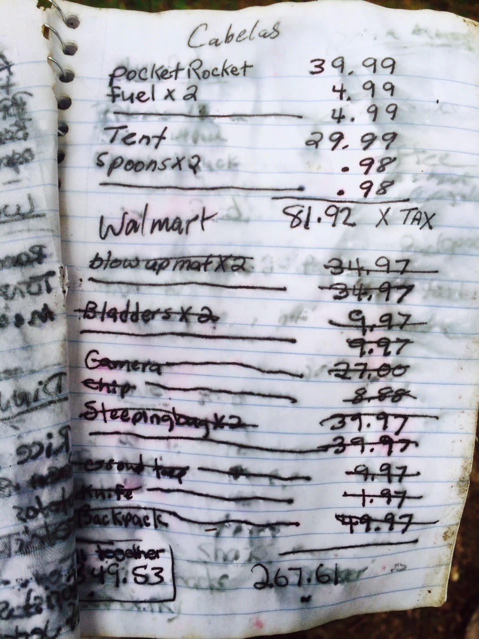
Near this area too was a trail journal, sitting near a campfire site.  It listed all the expenses made by the hiker for their journey.  It's not an inexpensive proposition to hike the A.T.


After the lookout, the Trail begins to descend, and drops 1000 feet in under one mile.  Managing this downhill, with the rocks included, makes it easy to understand why Tom prefers going uphill.  Explaining the rocks, and the quick descent doesn't quite do it justice--you must get out there and see for yourself.

At the bottom of the mountain is an old railroad yard, which is part of the Reading and Northern Railroad.  While it still had train activity, its heyday was 100 years ago when it busily transported coal mined in this part of the Anthracite region.  

Even on flat land for the remainder of the hike, our quads continued to feel the sting long after we walked through the picturesque town of Port Clinton (pop. 326) and to the Rt. 61 underpass.  

Including the two-mile segment to make up, we are about 78 miles from the New Jersey line!